Exporting Maps to Images
Beyond simply screenshotting your map, you can export your district maps to SVG images. To do this, select the Export map to image option from the file dropdown in the map header.
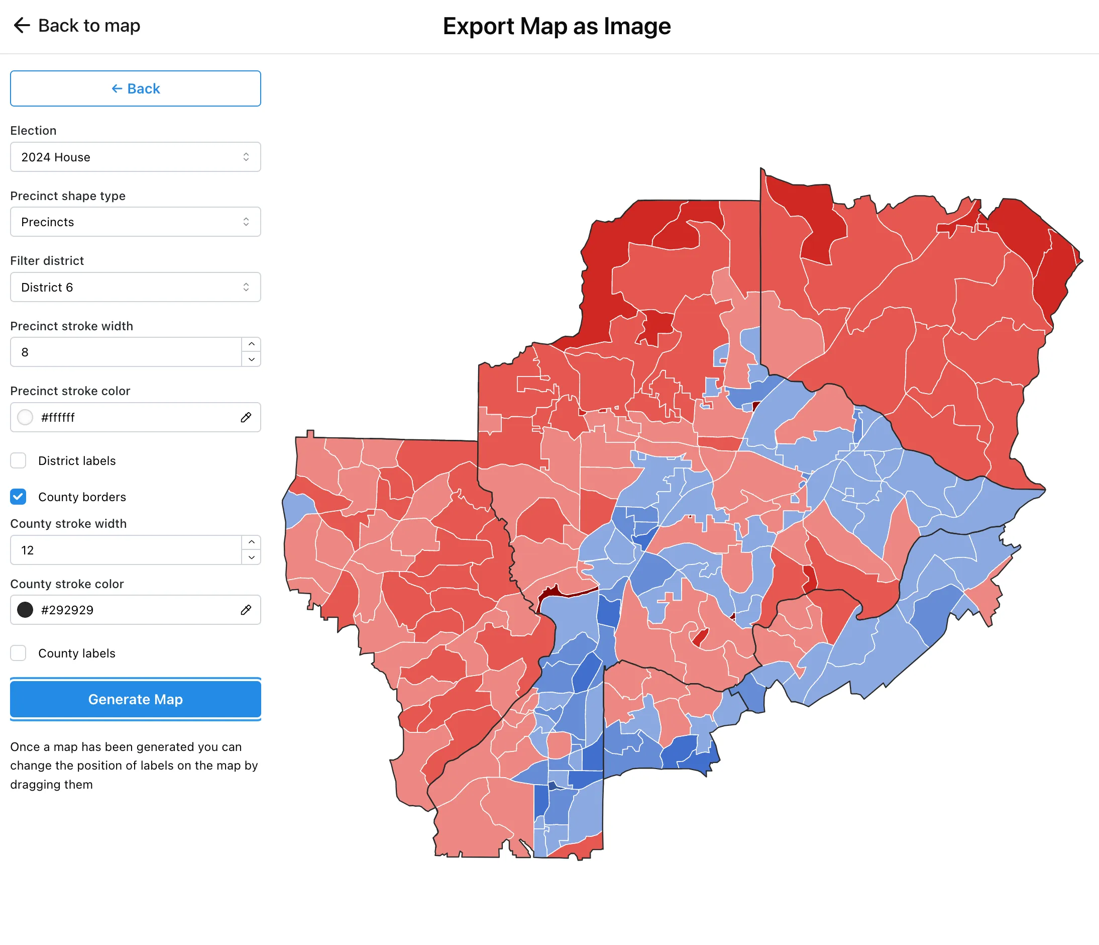
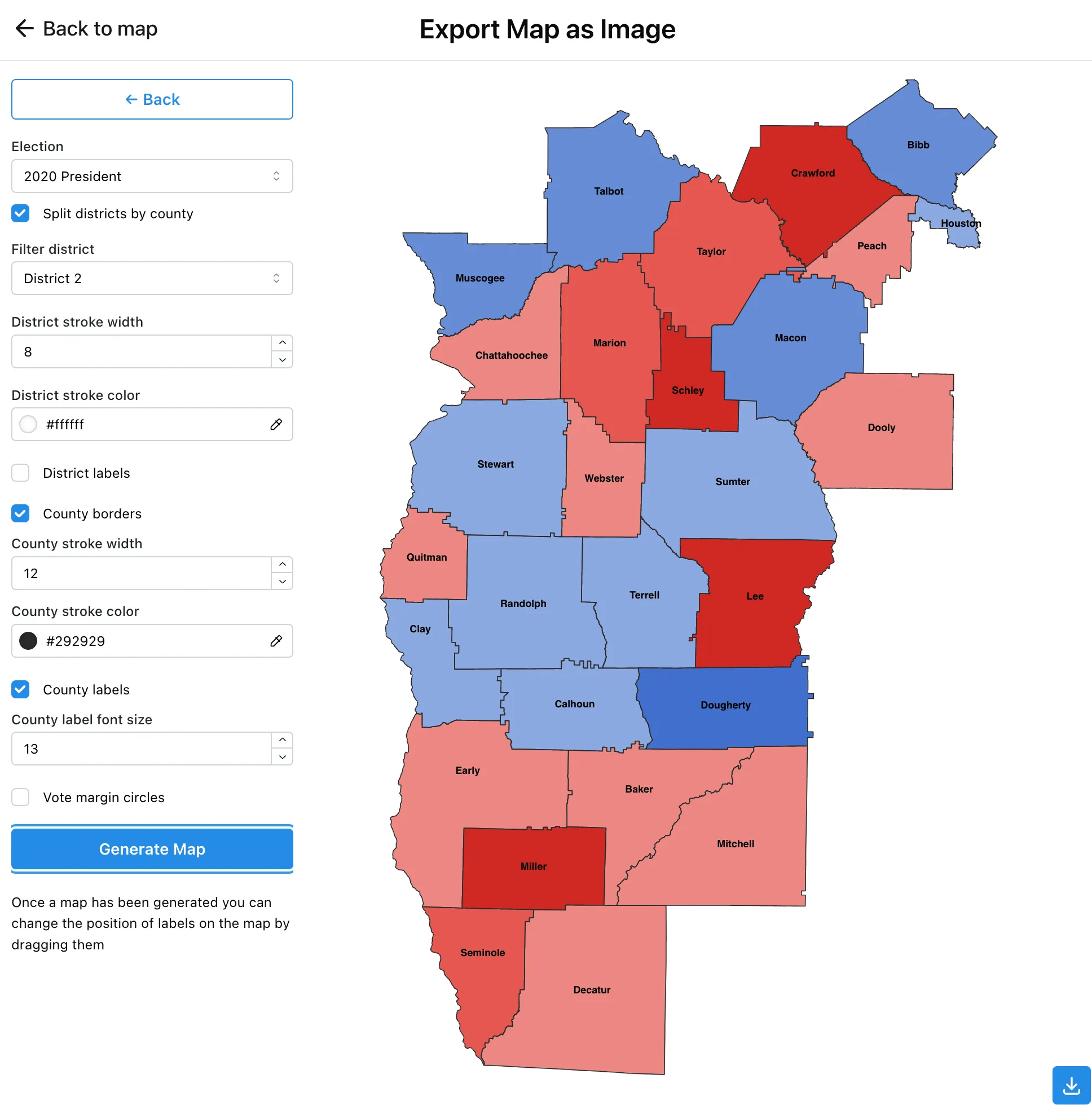
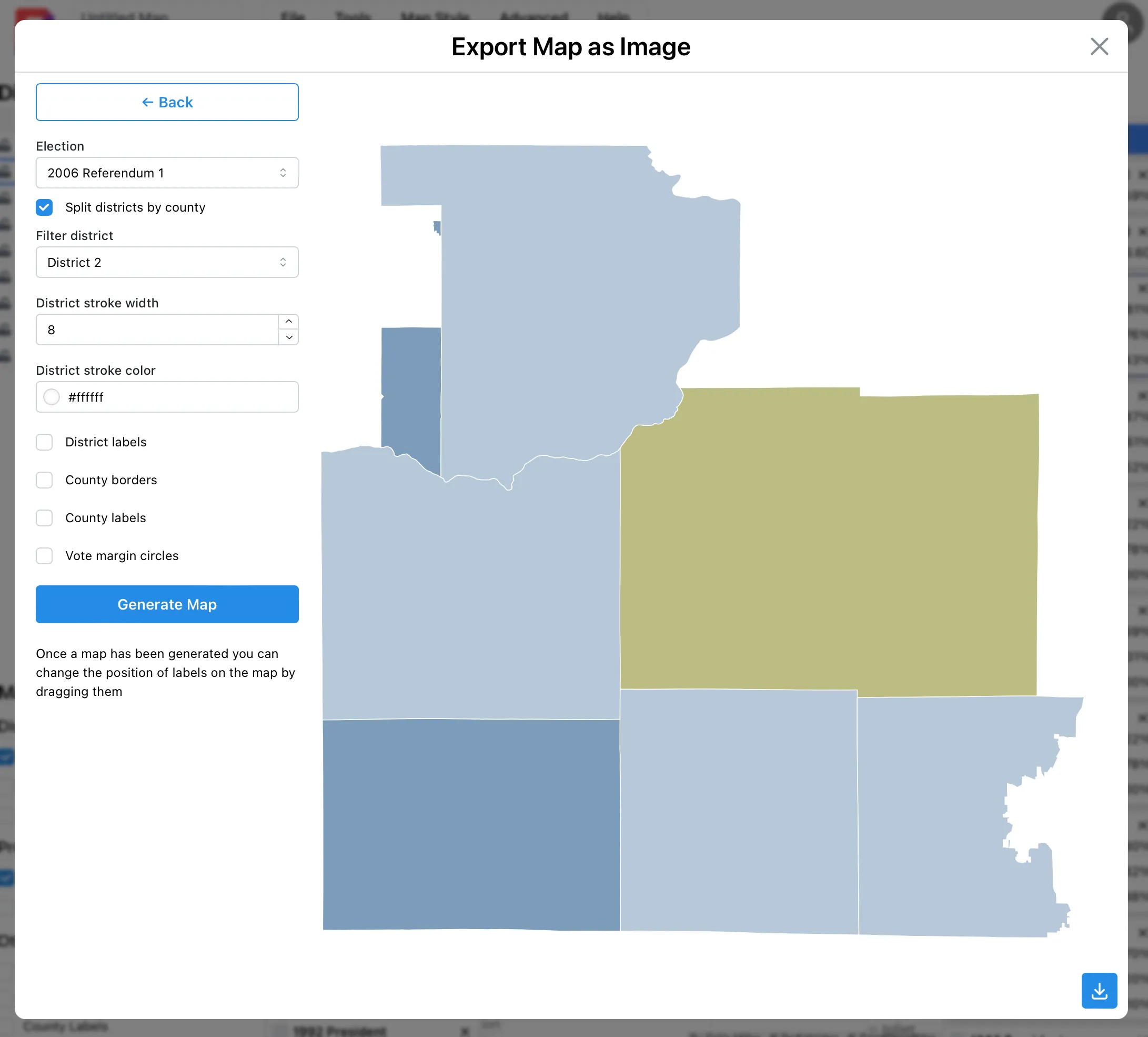
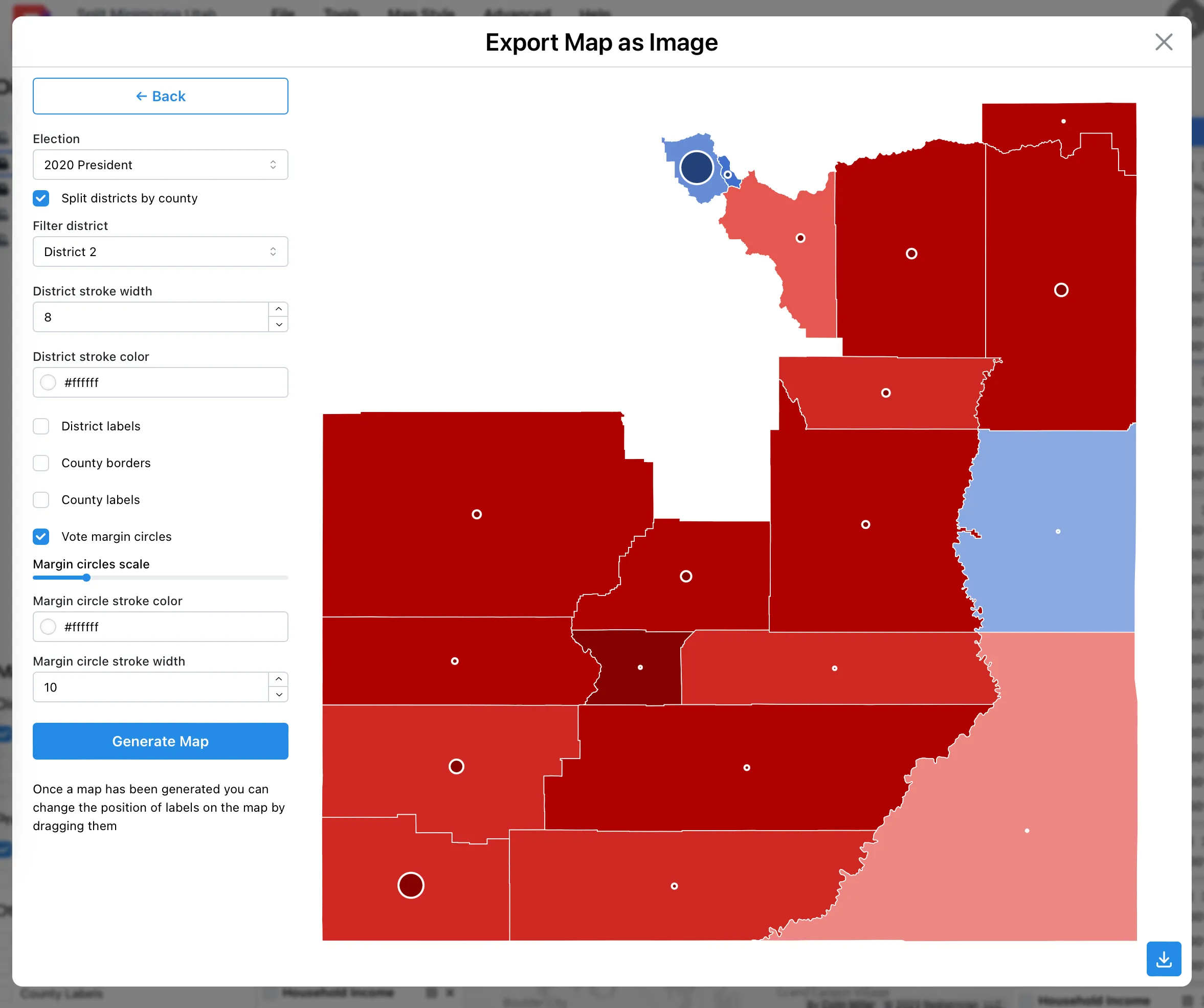
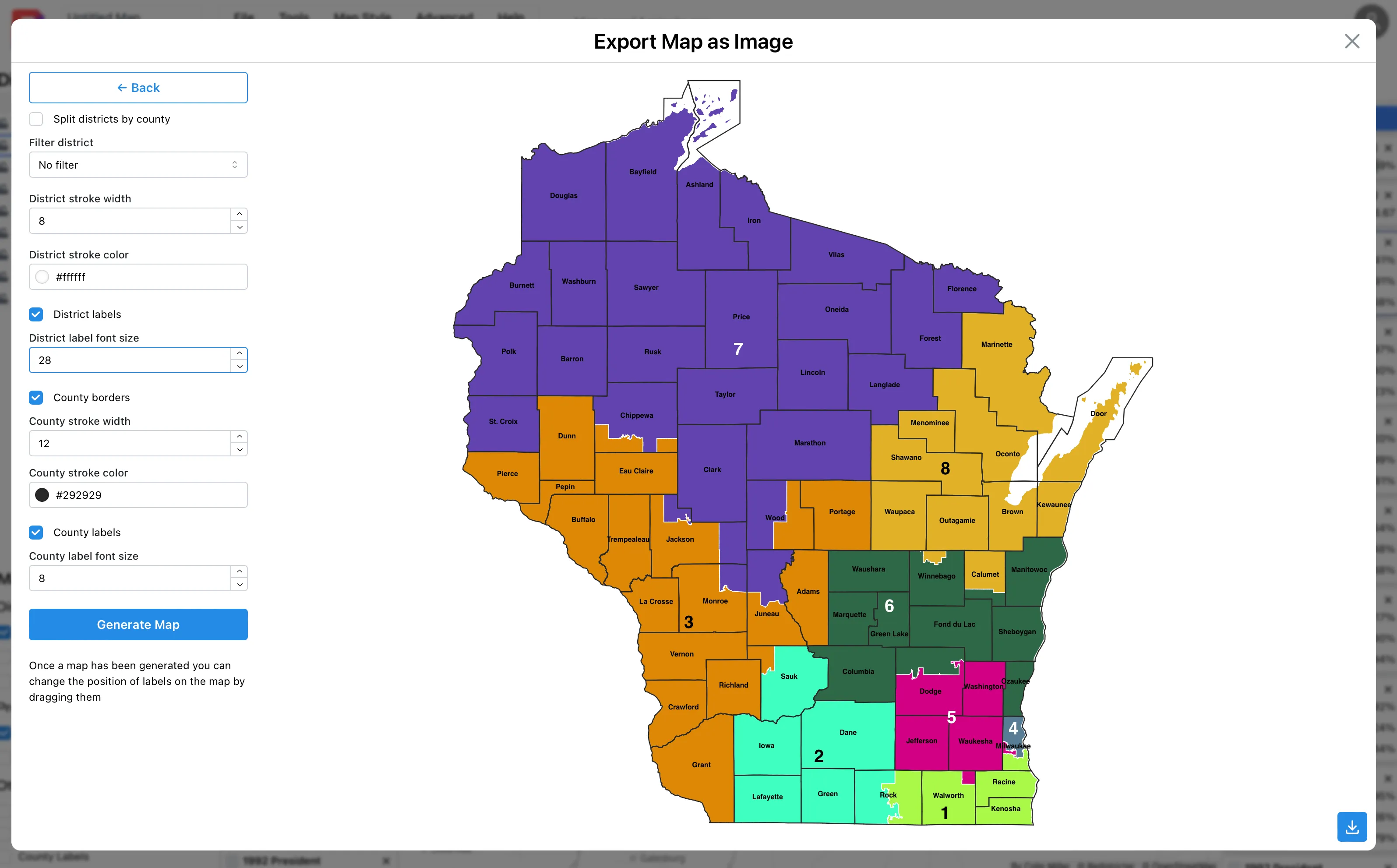
A dialog will appear that gives you different options on how to style the exported image. Once you’ve generated the image you can download it from the button in the bottom right corner of the dialog.
Examples